January, 2022
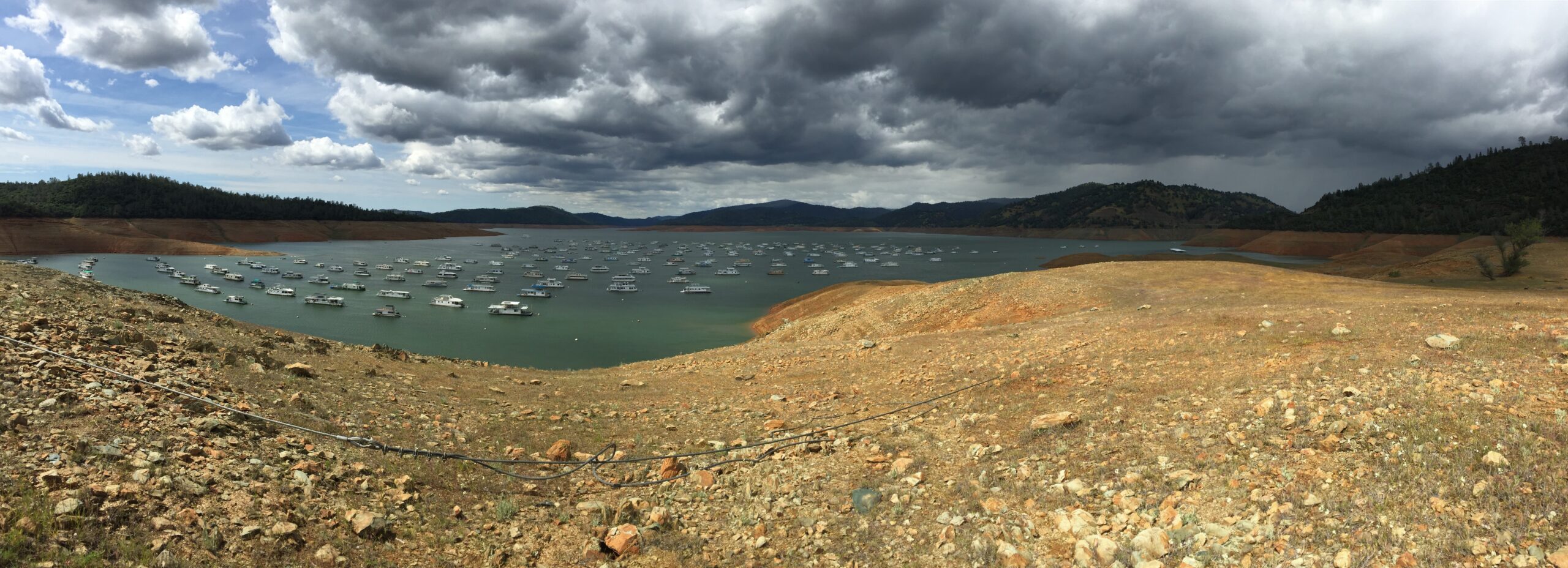
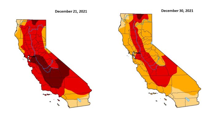
California has become somewhat notorious for its elongated periods of drought; the state seems to be in a constant flux of crisis management and subsequent recovery. However, a new map from the Federal U.S. Drought Monitor released on Thursday, December 30th, revealed that some relief for California’s parched residents may finally be on its way. After a week-long period of heavy storms and record-breaking snowfall throughout the state, nearly the entirety of California has escaped “exceptional drought” status, with levels plummeting from 23% to just 0.84%. The Central Sierra snow lab observed 193.7 inches of snow during December, which contributed greatly to these improvements. The more snow that blankets the mountains, the more rain will reach California’s coastal cities and sprawls. Despite these developments, however, upwards of 33% of California still remains in “extreme drought” conditions, also known as D3.
The National Oceanic and Atmospheric Administration, or NOAA, believes that while rainfall and snowpack have reduced the drought intensity levels across California, the state is still observing a 12-24 month deficit in overall precipitation. Most of California (55.35%) remains in the “moderate drought” classification, which is abnormally dry for the season. Still though, recent improvements could be an indication of things to come. NOAA meteorologists will continue to observe the state over the next few weeks for any future improvements. For now, California is set to continue enjoying its revamped snowpack, particularly around the Sierra Nevada and San Francisco Bay Area range. In the San Joaquin Valley, near Sierra Nevada, there are numerous citrus fields and almond farms expected to benefit from the increased rainfall.
Posted In:
Berje Barometer - Feature Articles - Market Report - 2022 Drought - 2022 Rainfall - Almond Oil - Bay Area - Berje Barometer - California Drought - California Rainfall - California Snowpack - Citrus Oil - Lemon Oil - San Francisco - Sierra Nevada